DASH Directors
Dr. Steven Mirsky
Co-Director

Dr. Amanda Hulse-Kemp
Co-Director
Products and Services
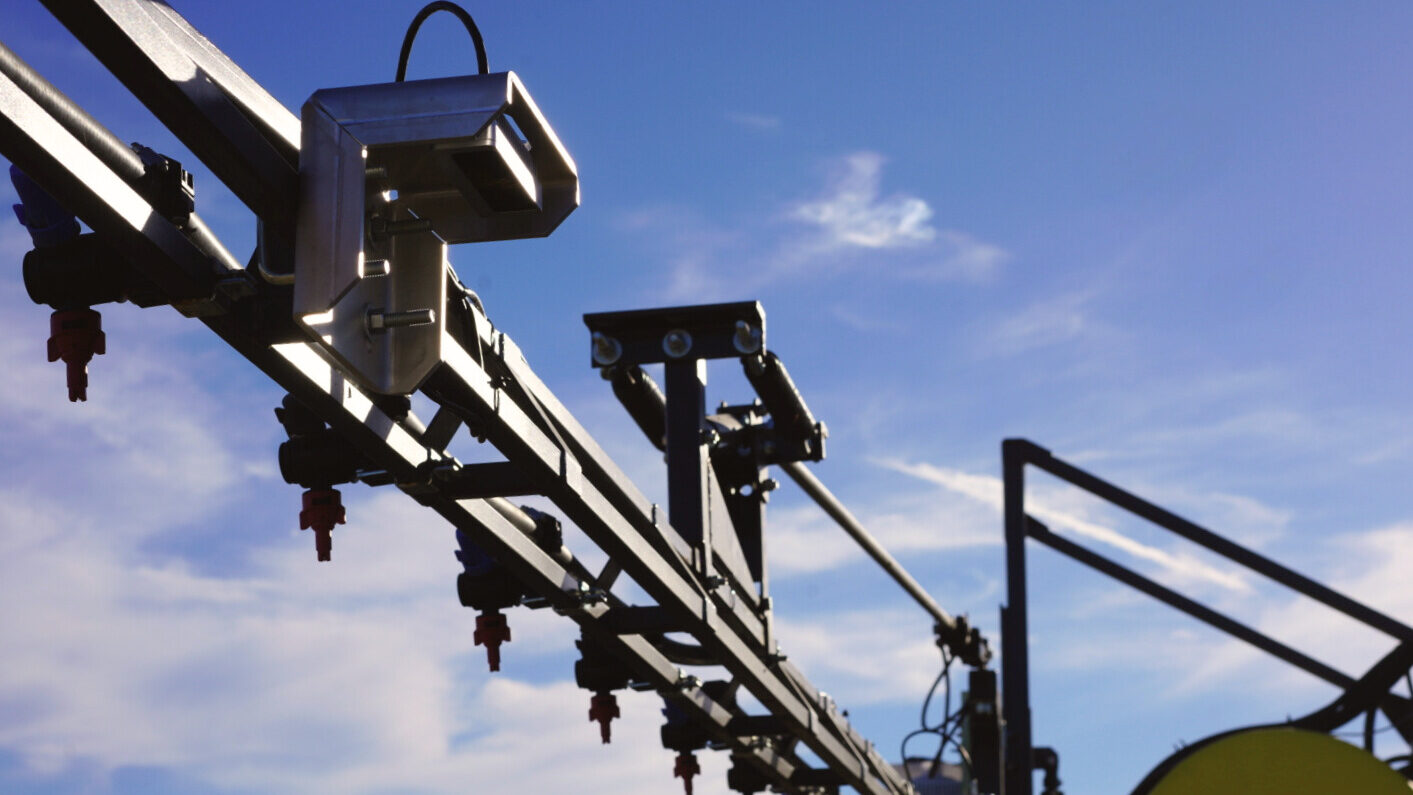
PlantMap3D: Modcam
PlantMap3D: ModCam (PM3D) is a camera system that deploys models trained by the National Agricultural Image Repository (AgIR) for phenotyping in breeding and plant science research, as well as on-farm mapping and plant ID.
The system uses relatively inexpensive, off the-shelf camera technology and open-source hardware and software to generate maps of plant species and biomass in real time.
PM3D collects RGB (color) images for species mapping and grayscale stereo images to estimate plant height. The height data is used to estimate biomass for each individual species.
PM3D can be customized for use by farmers, researchers, and other stakeholders. For each customer, our Data Services Team supplies cloud image storage, custom software for delivering near real-time analysis and visualization, and hotline support.
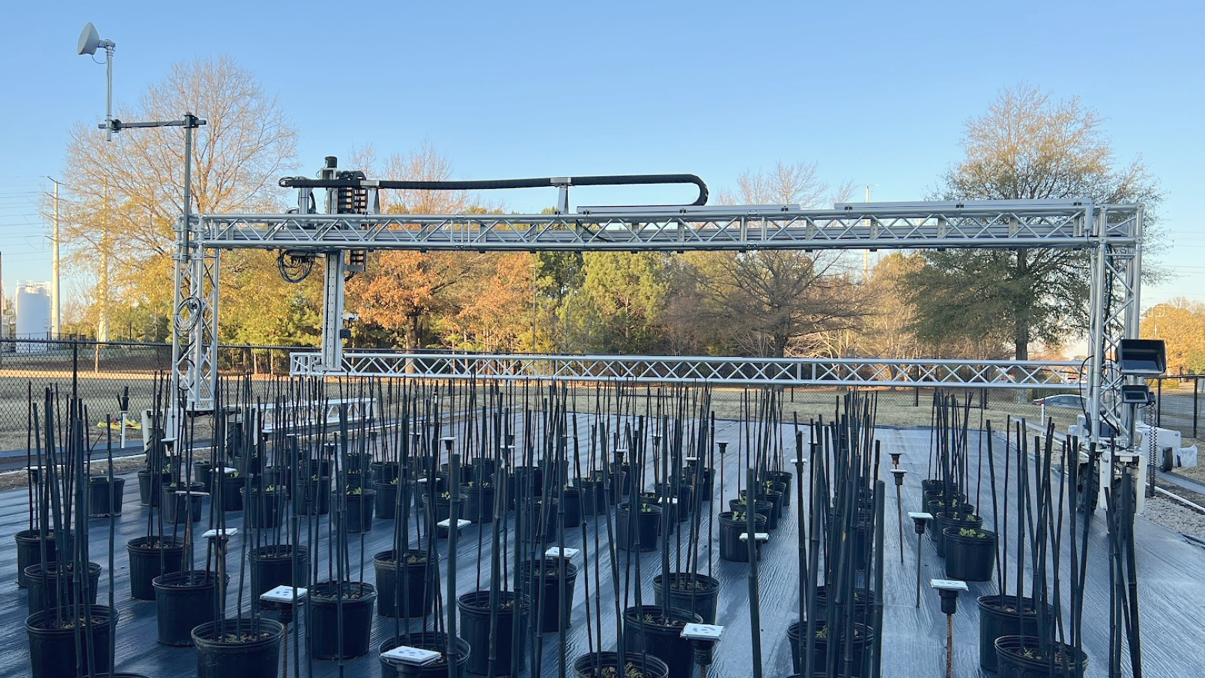
BenchBot
BenchBot is an automated imaging platform that fuels the Agricultural Image Repository by capturing high-resolution plant images at scale.
Built on a modular, open-source framework, BenchBot delivers a high-throughput, cost-effective way to generate pre-labeled, AI-ready datasets. These flow directly into computer vision pipelines for processing and semi-automatic annotation, streamlining the creation of customizable machine learning models for real-world applications.
Currently, BenchBot is collecting thousands of images of agronomic crops, specialty crops, and weeds. Together, BenchBot and the Agricultural Image Repository form a growing public ecosystem of free, cutting-edge AI solutions to some of the most pressing challenges in U.S. agriculture—and the platform is open for new collaborators.

Agricultural Image Repository
Agriculture is under pressure like never before. Farmers face mounting risks from water scarcity and flooding, pest resistance, and degraded soils, all while fewer producers manage more acres. To keep pace, they need affordable, site-specific precision technologies that boost productivity, cut input costs, and sustain rural economies. The digital agriculture revolution holds the solution—but one barrier stands in the way: a shortage of large, open-source training datasets.
Distributed across the U.S. and embedded in every major cropping system, public-sector scientists are bridging the gap in building the National Plant Agricultural ImageRepository (AgIR), an open, cloud-based bank of tens of thousands of
high-resolution,
metadata-rich images
of crops, cover crops,
and weeds.