AI-Powered Plant Mapping for Precision Agriculture
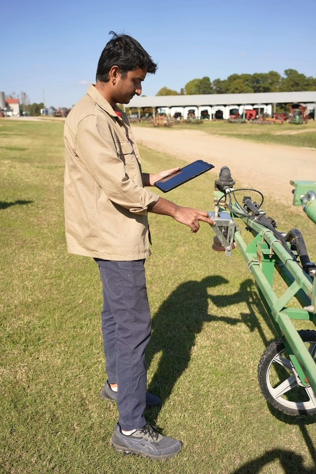
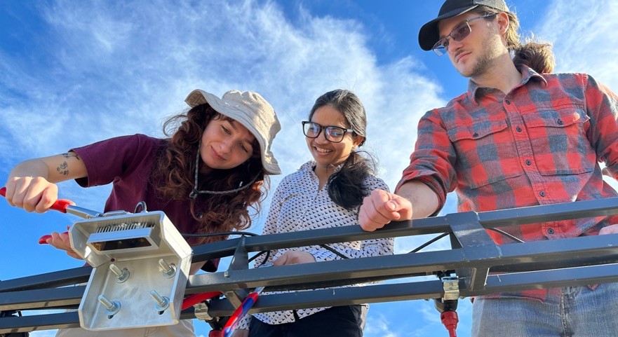
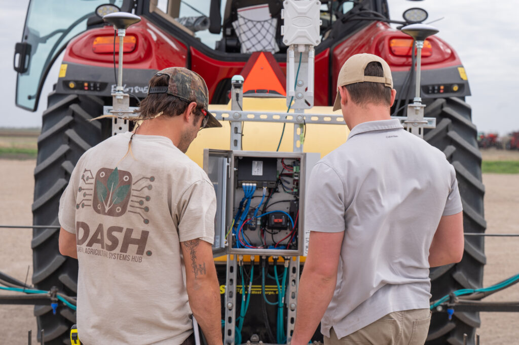
ModCam is a customizable AI-powered imaging system designed to help farmers and researchers better understand what’s happening in their fields in real time.
Using advanced imaging, GPS mapping, and AI-powered phenotyping, the ModCam system can identify crops and weeds, estimate plant biomass, and generate detailed field maps to support faster, more accurate site-specific decision making.
Smarter Field Mapping
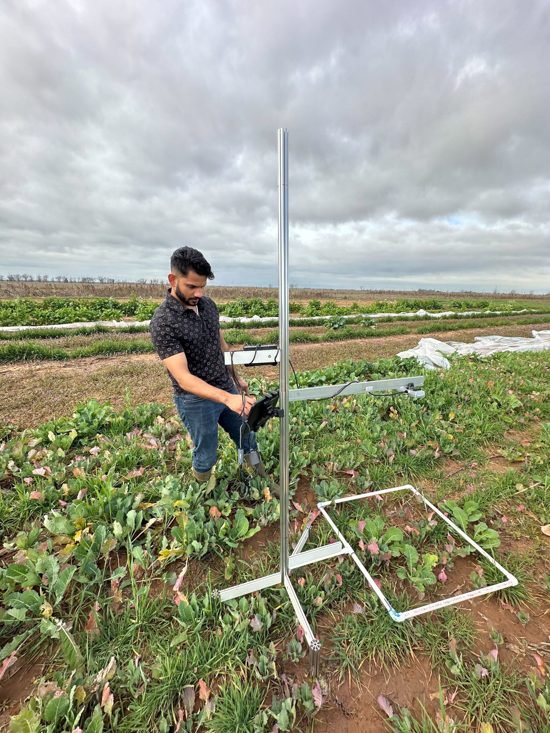
ModCam combines high-resolution RGB and stereo camera technology with machine learning models trained by the DASH team through the National Agricultural Image Repository (AgIR).
ModCam captures:
- RGB/color images for plant and species identification
- Stereo grayscale images for plant height estimation
- GPS-tagged field metadata for precise mapping and analysis
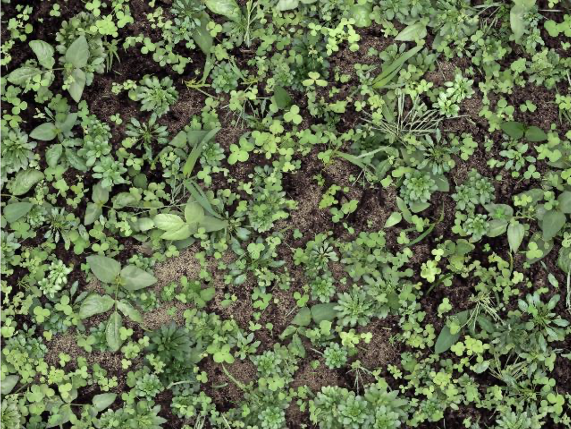
This information is processed into near-real-time visualizations that help users monitor crops, weeds, biomass, and changing field conditions more efficiently than manual crop monitoring.
Designed for Farmers and Researchers
ModCam is designed to support a wide range of agricultural applications, including:
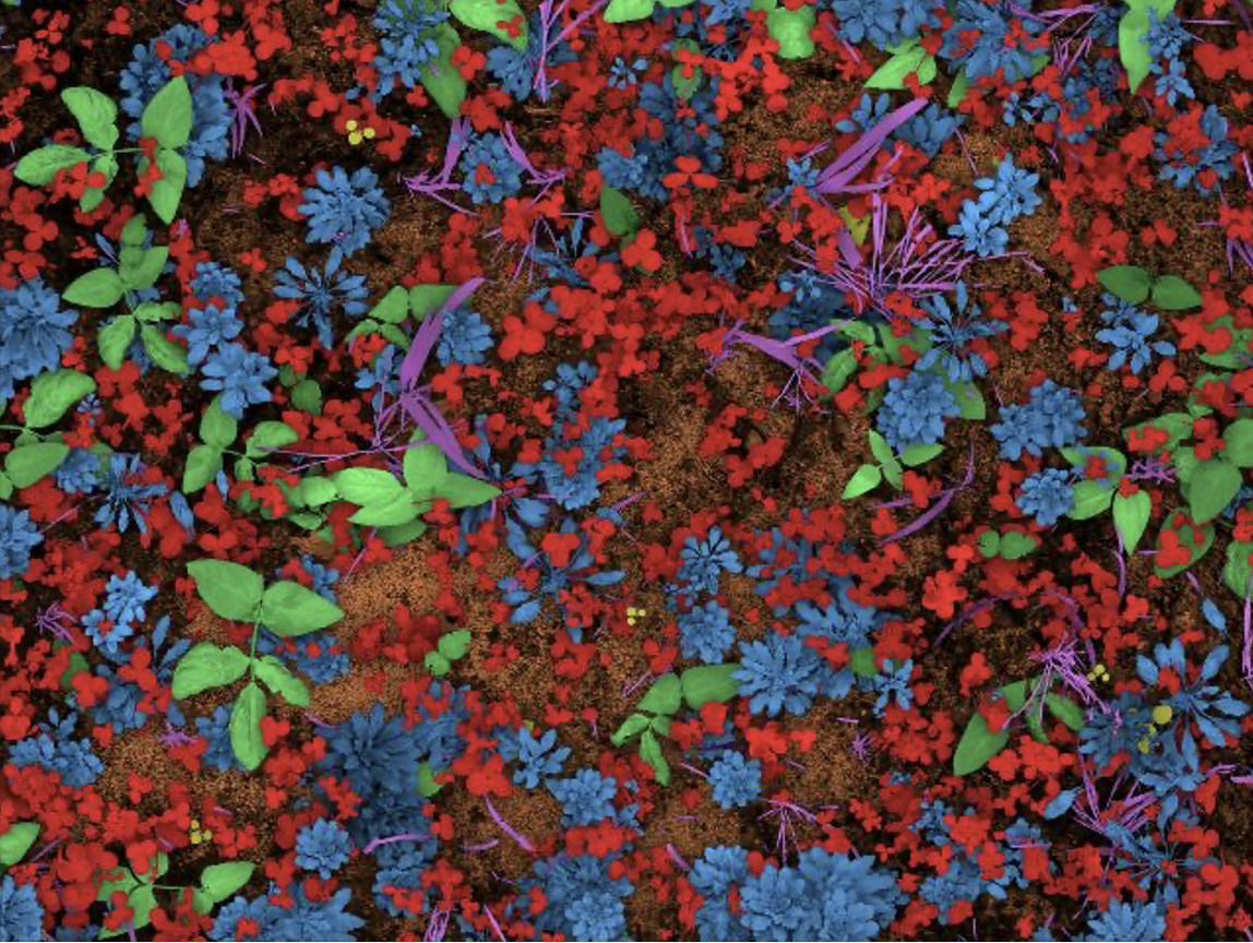
Precision weed mapping
Identifies and maps weed populations across fields to support targeted management decisions.
Crop and cover crop monitoring
Tracks crop growth, health, and field conditions throughout the season.
Biomass estimation
Estimates plant growth and biomass using image-based data collection.
Plant phenotyping research
Collects detailed plant trait data to support agricultural and scientific research.
Breeding program data collection
Helps researchers gather consistent plant data for crop breeding and variety development.
Field monitoring and plant identification
Detects and identifies plants in real-world field environments using AI-powered imaging.
Real-Time Insights
Images collected by ModCam are tagged with GPS coordinates, timestamps, field conditions, and other metadata, allowing users to create precise field maps
Depending on your application, data can be:
- Processed directly on-device for immediate feedback
- Uploaded to cloud storage for deeper analysis and visualization
- Custom adapted to fit different research and management needs
Open-Source Innovation for Sustainable Agriculture
ModCam was built to make precision agriculture technology more accessible and affordable.
By combining open-source software, AI-driven imaging, and scalable hardware, ModCam helps support:
- More efficient use of resources
- Site-specific real-time field management decisions
- Faster research workflows
- Improved sustainability and efficiency in agriculture
ModCam’s goal is simple: give farmers and researchers better tools to see, understand, and manage their fields.
Interested in the ModCam System?
We’d love to chat